
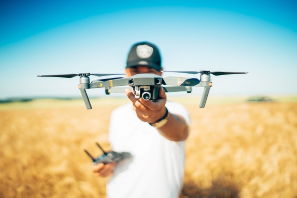
DJI launches new imaging software for drones
On 3/28/2019, DJI introduced DJI Terra, a new software tool that transforms drone data into digital 3D models and maps for easy analysis and decision making. DJI Terra enables businesses and organizations using DJI drone technology to capture, visualize, and analyze aerial images for a wide variety of applications across the public safety, construction, infrastructure, agriculture, and film industries. The company’s recently filed patent applications have already indicated that DJI is now innovating less in hardware and focusing more on developing software products for its drones. They include self-imposed flight restriction zones, target tracking, image recognition-based navigation, and more.
Related Posts

UAV 2020 Annual Update – No Signs of Fatigue from DJI
DJI did not slow down their patent filings in 2019 as shown by the publication of patent applications in 2020 continuing unabated. IBM…


Wing Does Not Like the New Drone ID Rule. Who Owns that Space?
Wing Aviation said the FAA’s new rule for UAVs to radio broadcast remote ID messages for tracking will have “unintended negative privacy…

Uber divests another company for $100M+. Good thing it had lots of patents…in ride-hailing
As part of its profitability strategy, Uber is turning over its unmanned aerial vehicle unit, Elevate, to Joby Aviation, which is…